

KWC Survey & Mapping
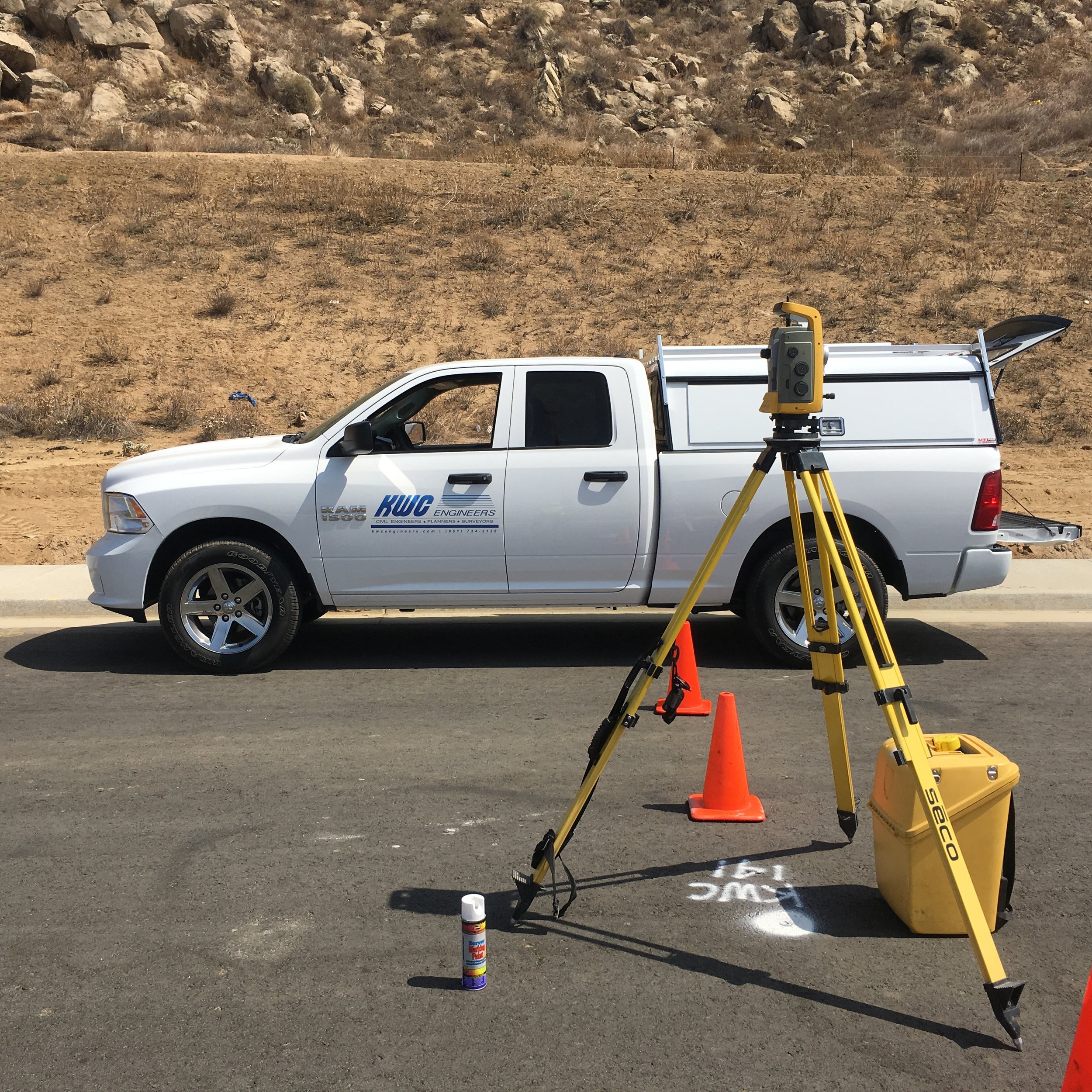
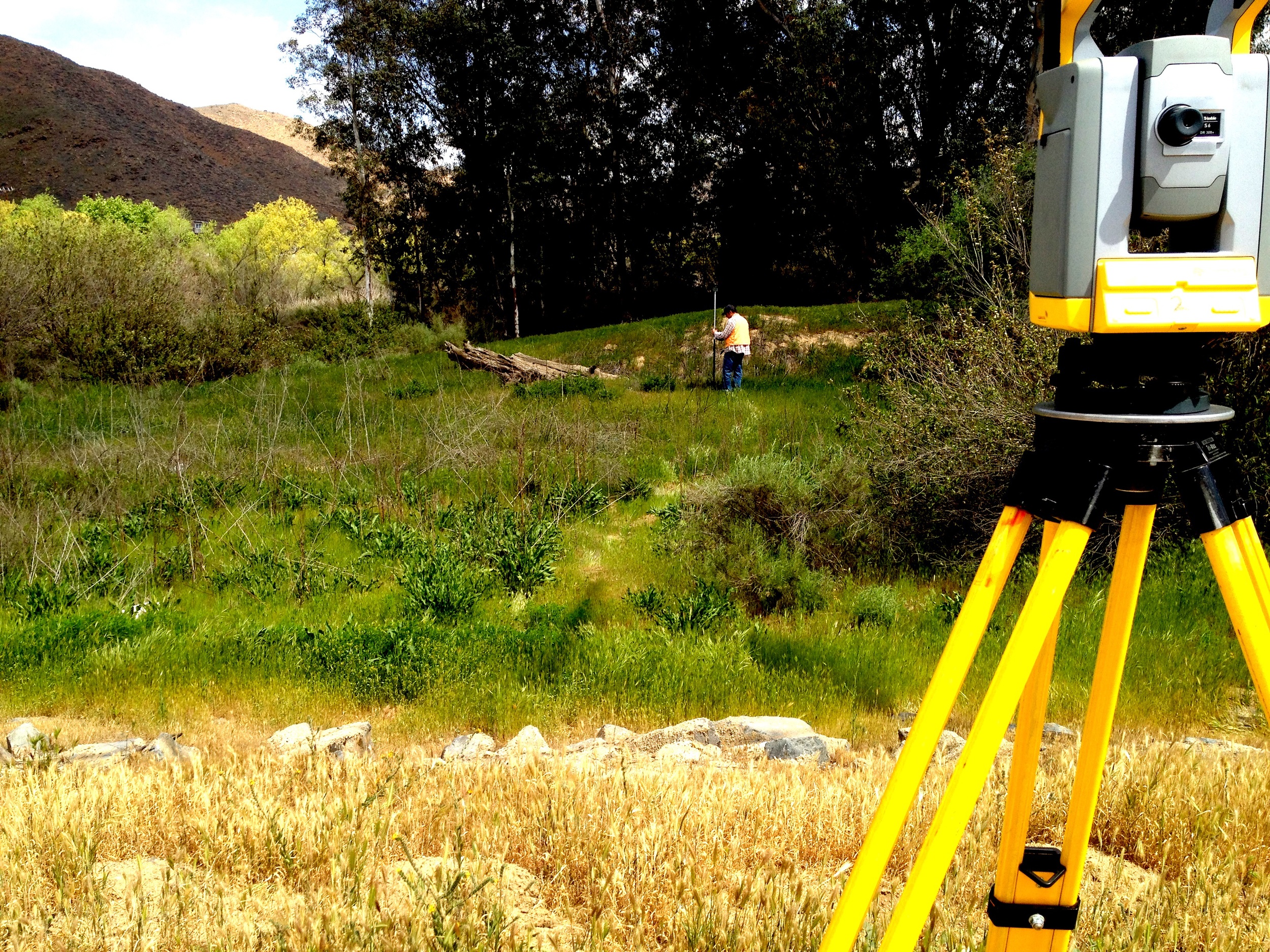
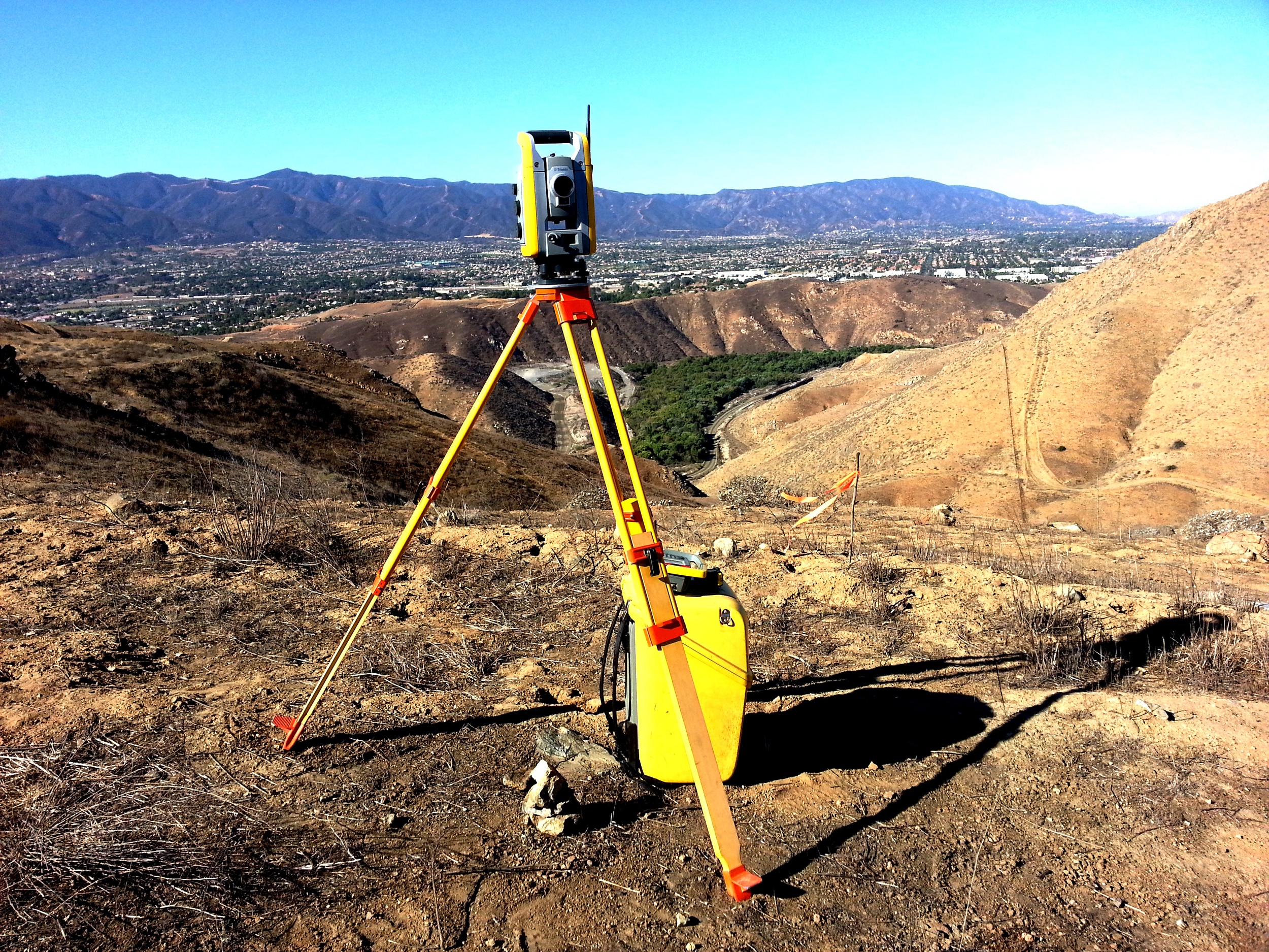
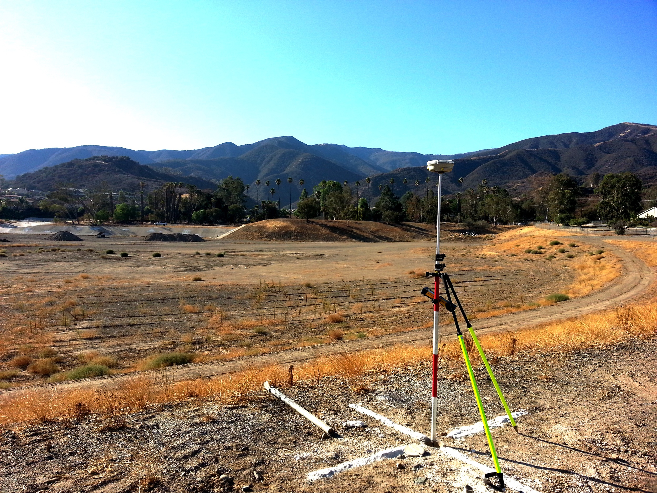
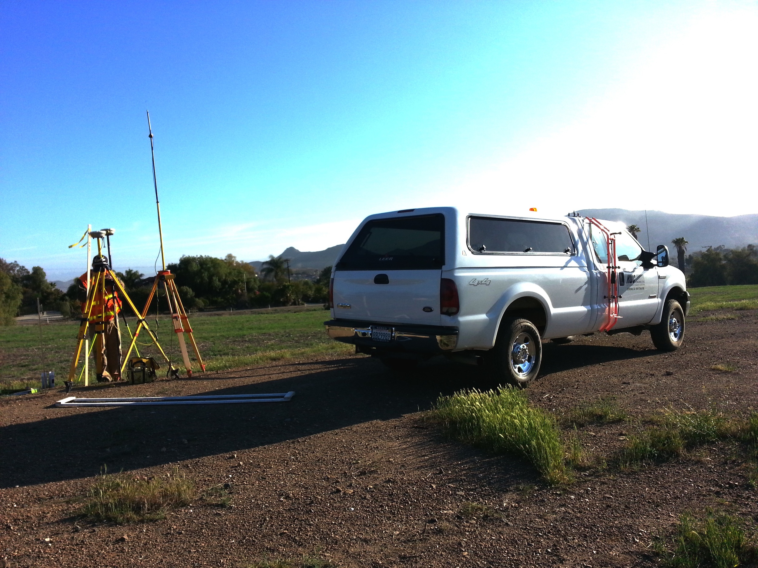
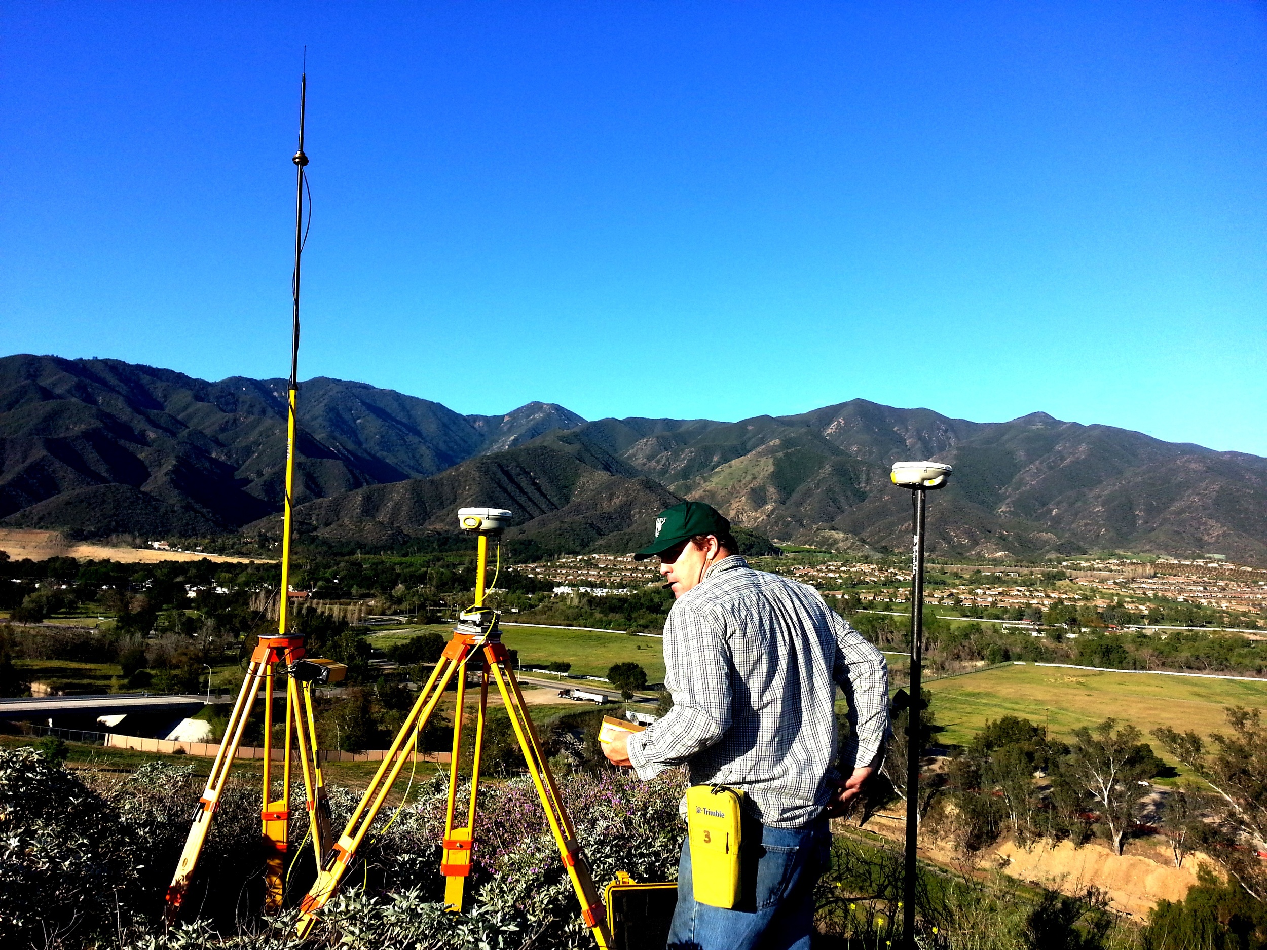
KWC Engineers' survey department uses the latest in survey technologies to provide accurate and reliable field data and coordination. Our GPS and automatic laser tracking systems allow our crews to quickly produce highly accurate stake points for construction, and provide data-rich files for analysis and processing. Services range from boundary reconnaissance to construction applications.
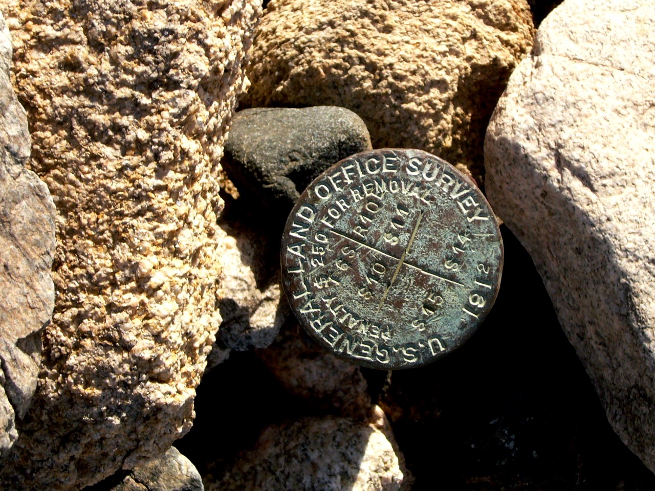
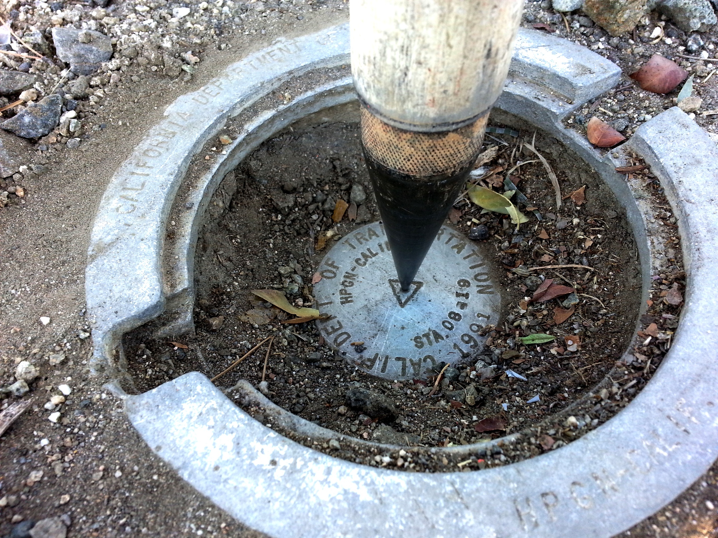
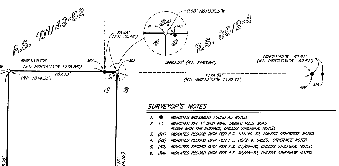
Boundary Reconnaissance & Monumentation
ALTA Surveying and Plan Preparation
Record Documentation and Research
Property Line Reconnaissance
Monumentation Research and Location
Boundary Establishment
Aerial Topography and Aerial Targets
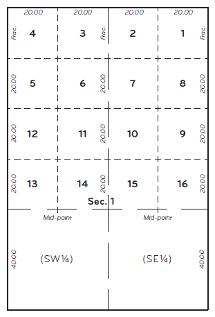
KWC Mapping Services
Title Report Document Review
Legal Descriptions and Plat Maps
Tract Maps, Parcel Maps and Records of Survey
Lot Line Adjustments
City/County Annexations
Record of Survey
Tract Maps/Parcel Maps
Easement Plotting
Deed and Easement Analysis
Rights easements Review
Street Vacations
Boundary Survey and Analysis
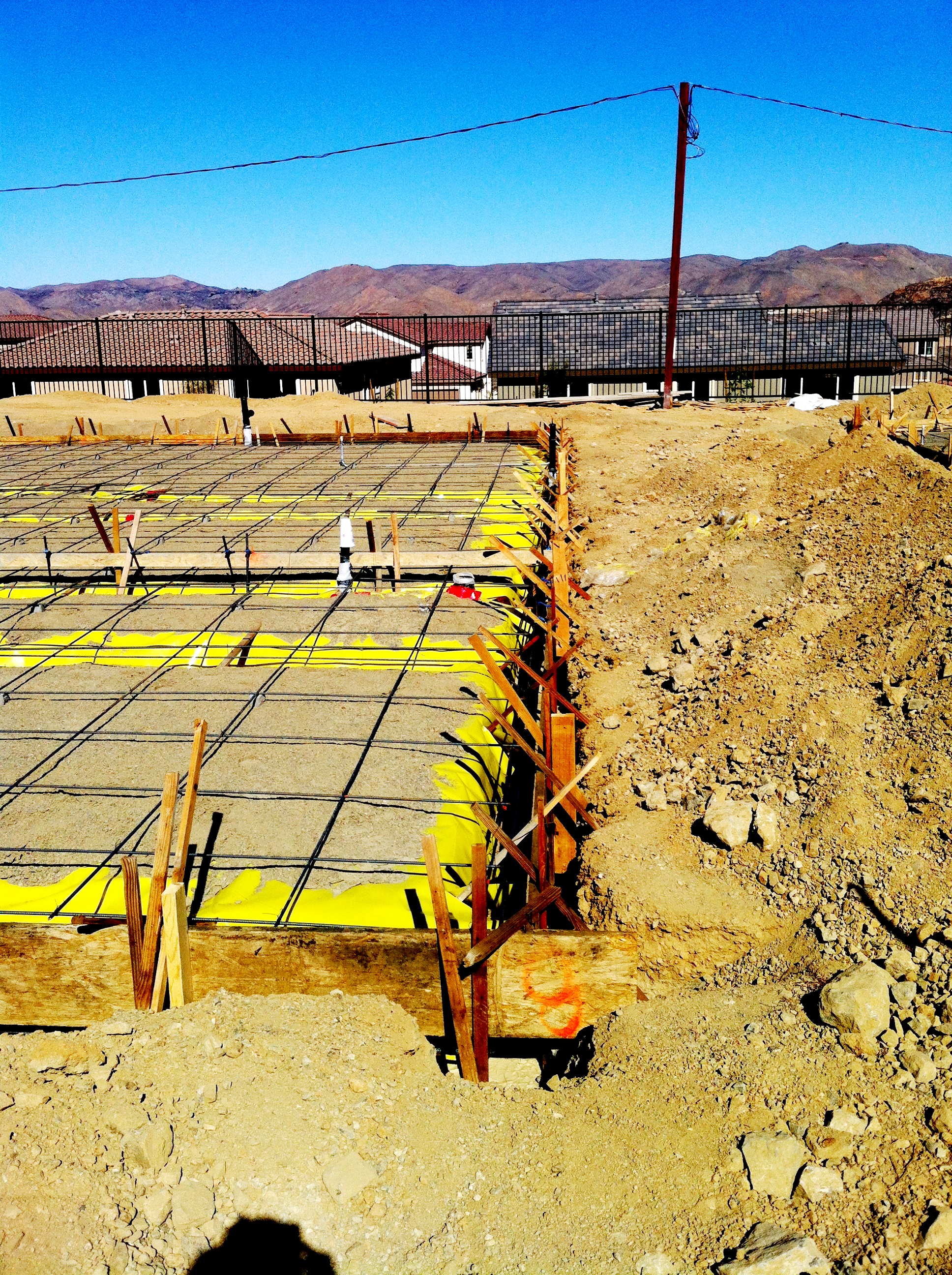
KWC Construction Staking
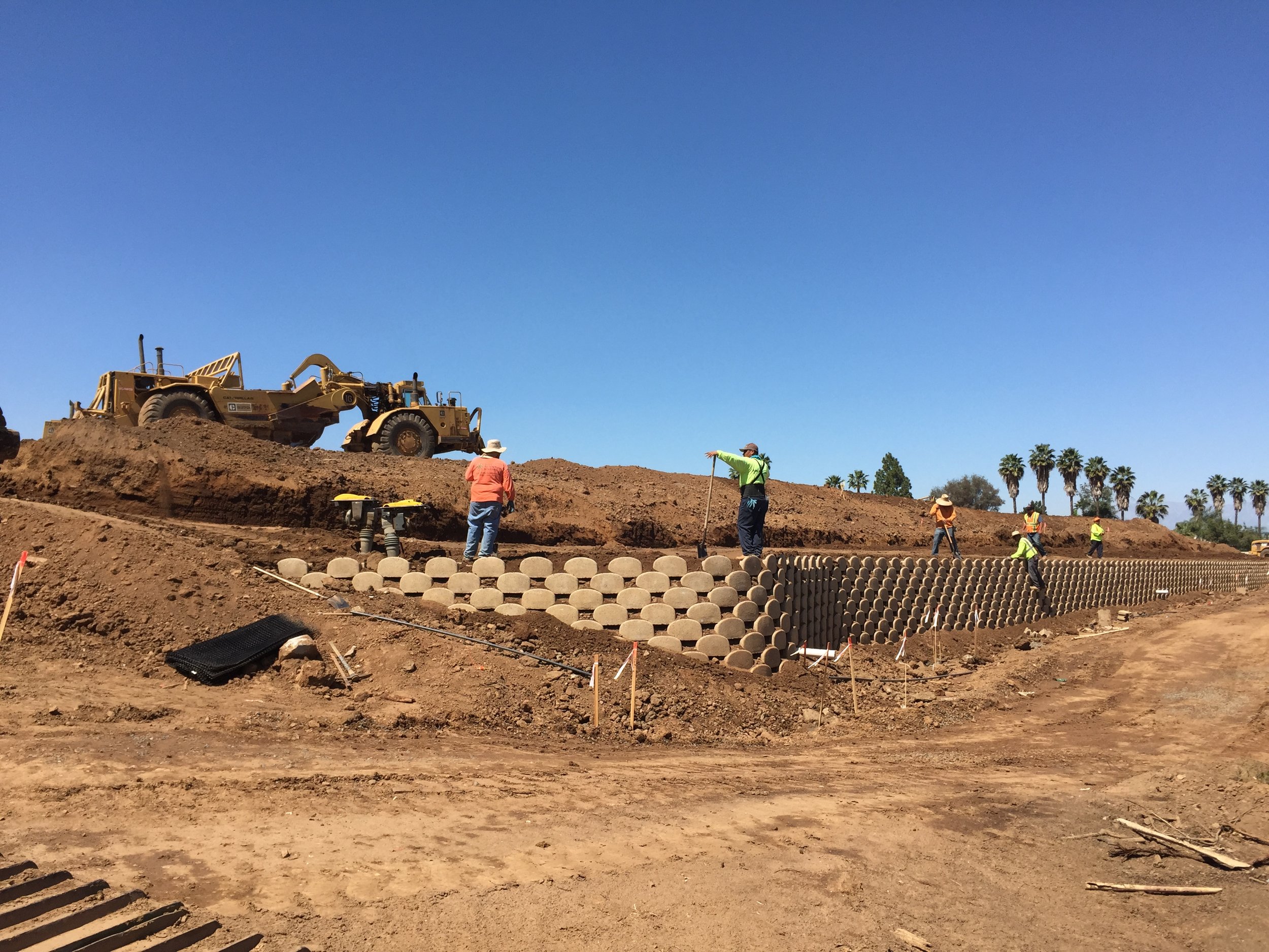
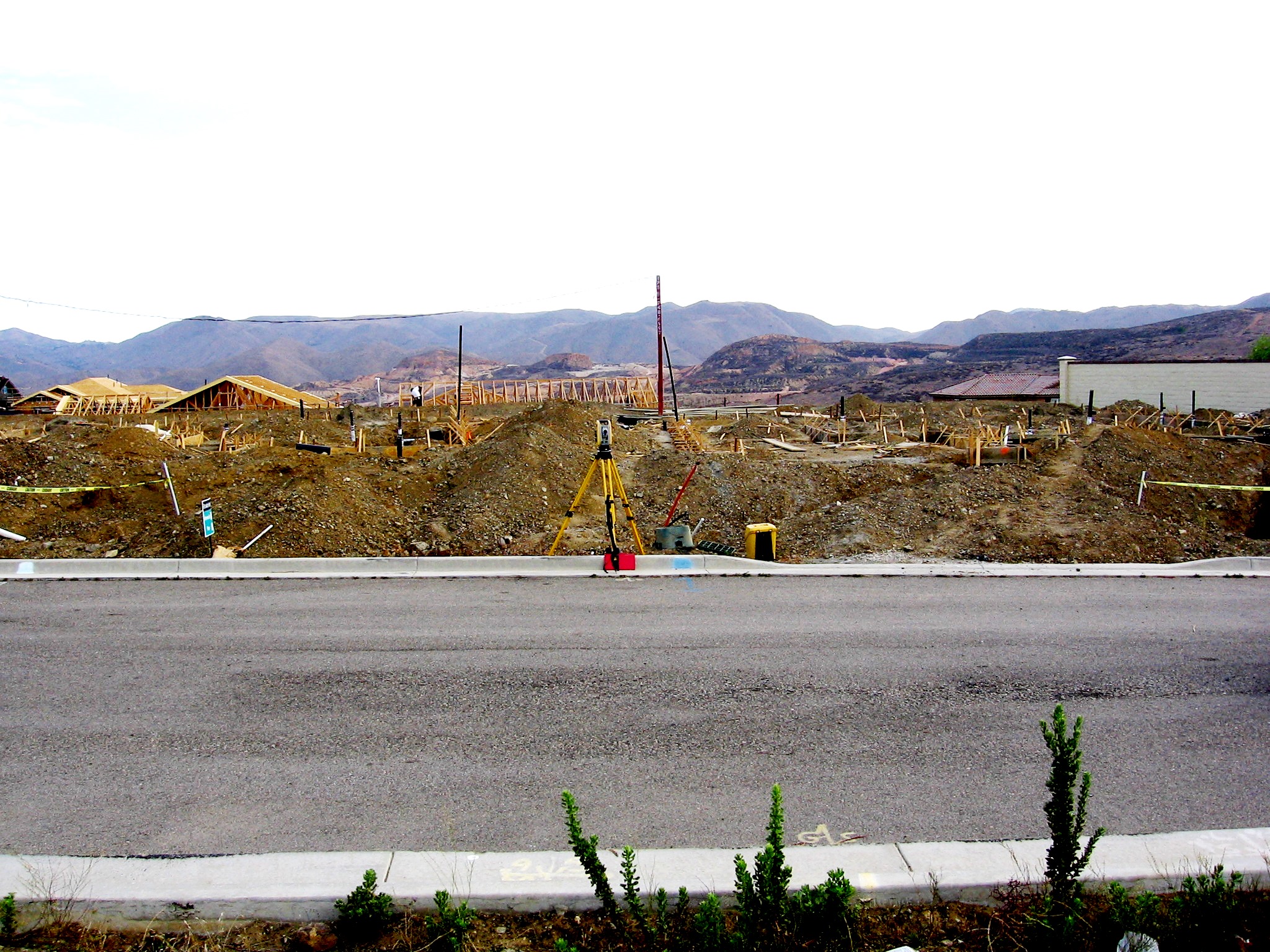
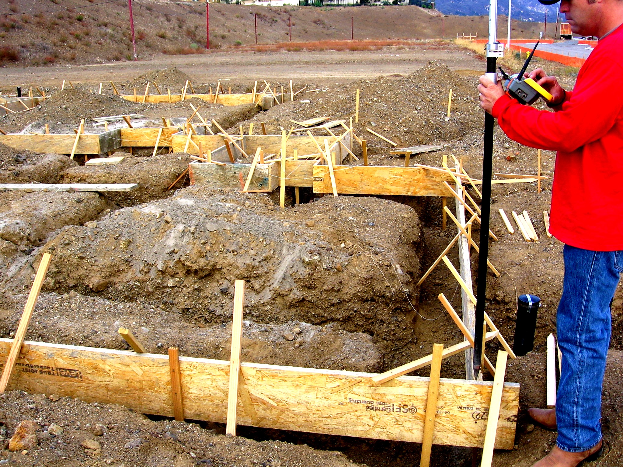
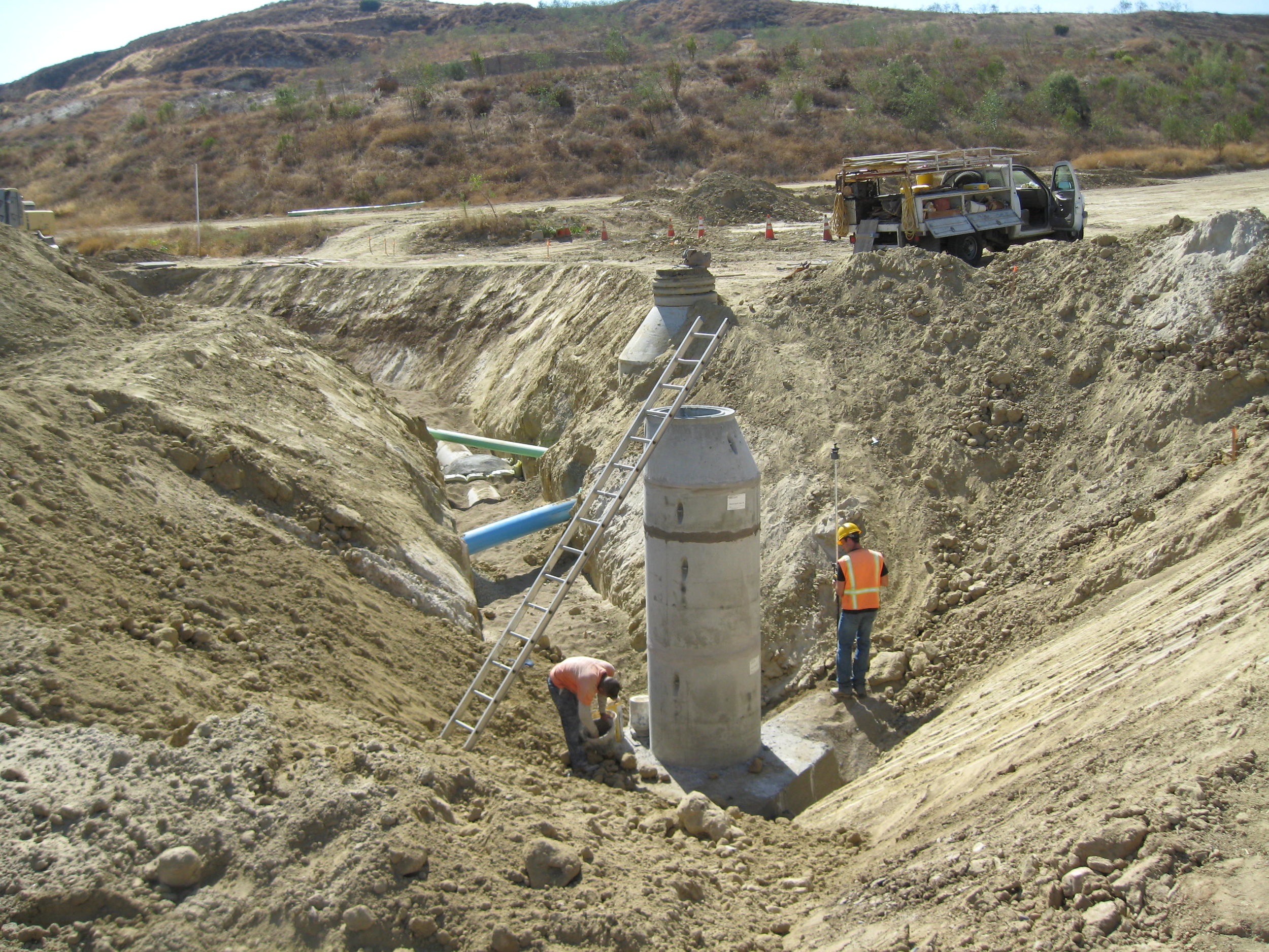
Improvement Plan Staking
Water
Sewer
Storm Drain
Grading
Mass
Rough
Precise
Wet and Dry Utility Staking
Precise Grade Certification
Form Certification
Building/Foundation Staking
Slope Staking
On-Call Surveying Services
AERIAL DRONE SERVICES
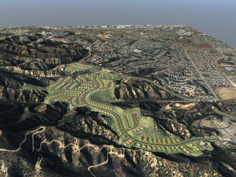
Aerial Drone Topography and Planimetry (Construction Grade - 1 inch accuracy)
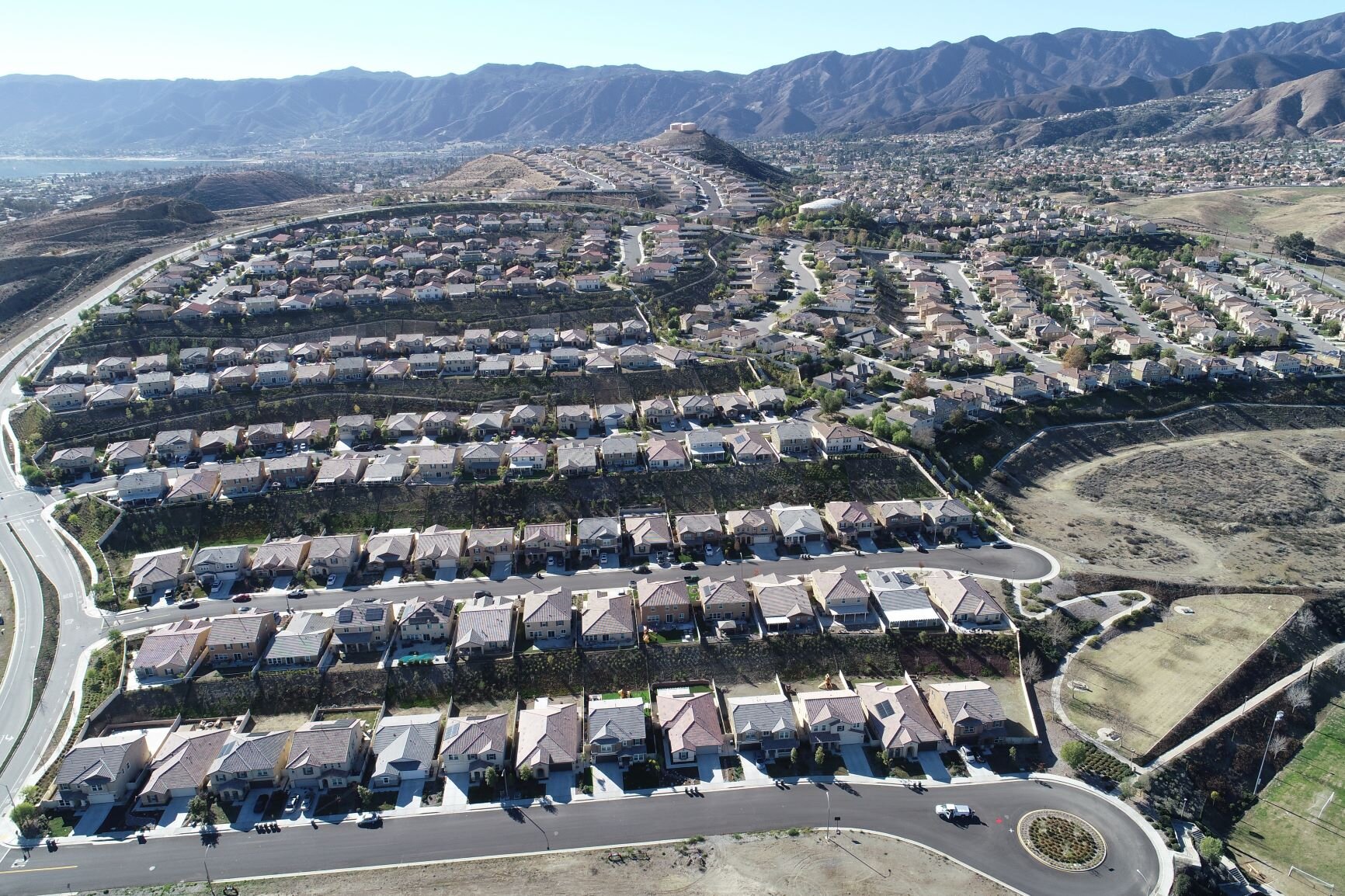
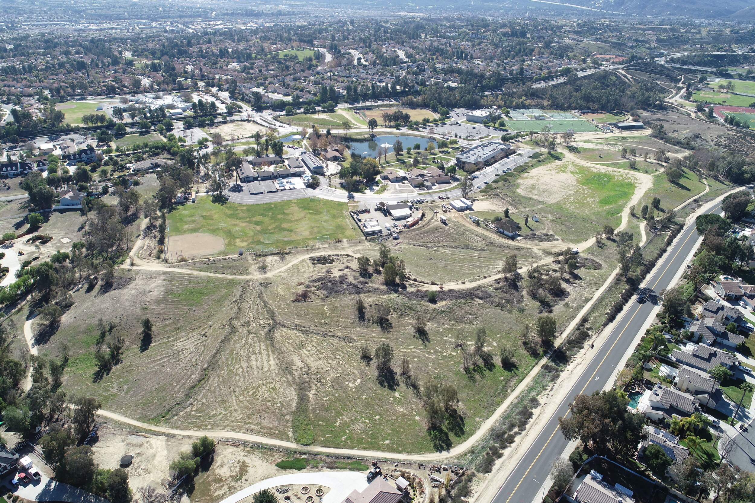
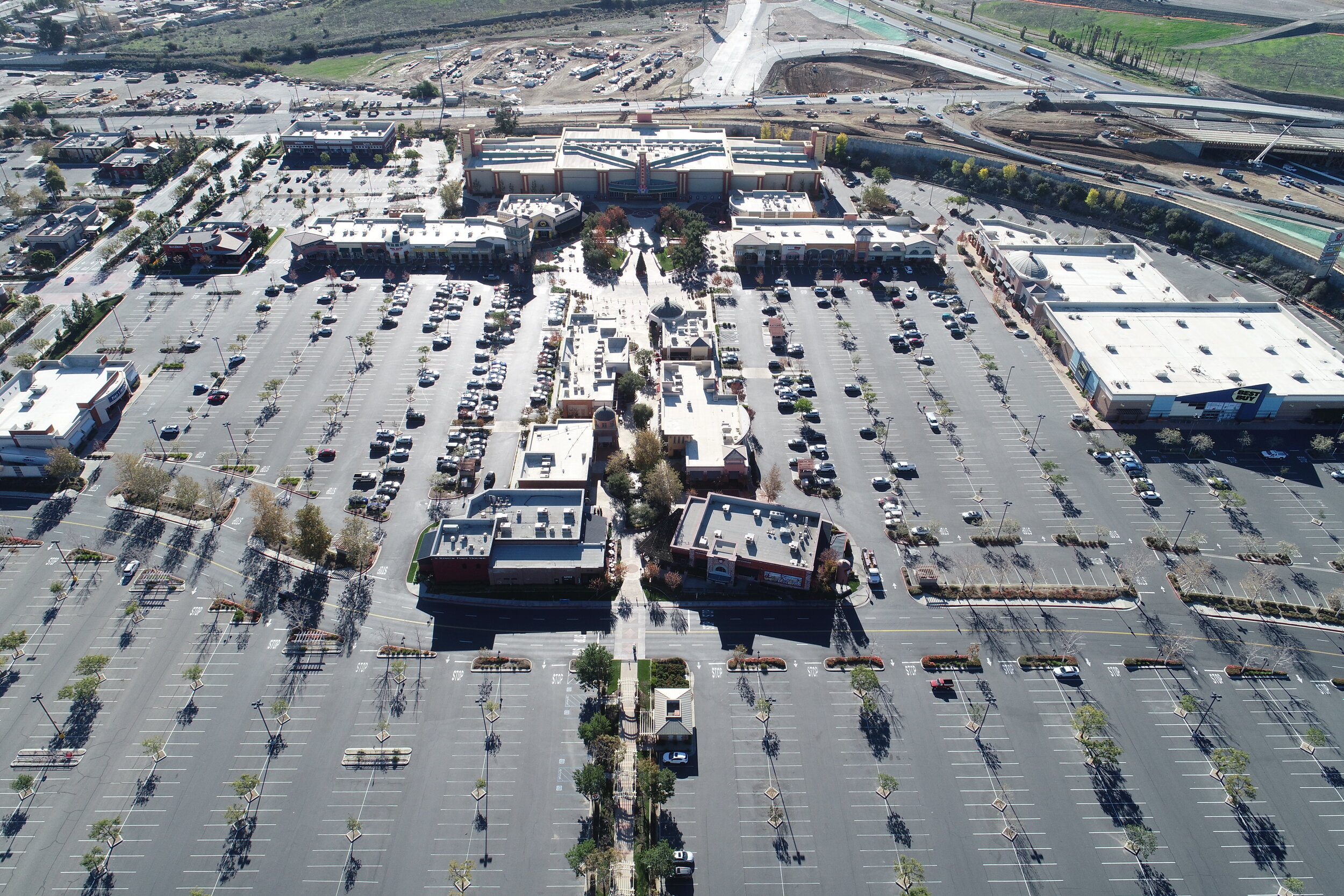
Aerial Drone Imagery & Video
Drone Field Inspection and Reconnaissance
KWC provides mobile drone topography survey services to fly project sites and capture aerial imagery for the preparation of aerial topography, ortho photos, and other aerial perspectives. Other applications include construction management, reconnaissance, environmental site reviews, marketing images, and video fly-by and fly-through footage.
KWC Drone Services are conducted as an extension of KWC’s surveying services. Our teams are capable of conducting and preparing construction grade topography with up to 1 inch of accuracy. Over the past several years, KWC has created a state-of-the-art process that utilizes our drone field imagery to prepare 3D models and 2D topography that can be used for engineering design, virtual site visits, property reconnaissance, and many other applications.
Please contact admin@kwcengineers.com to request a quote for aerial drone services. Include the following:
Name
Contact information
Description of services requested
Any available files that depict the area of coverage